BlueWater Geospatial
BlueWater Geospatial is a Service-Disabled Veteran-Owned Small Business (SDVOSB) specializing in geospatial consulting and advanced remote sensing services. We provide cutting-edge satellite imagery analysis and GIS expertise.
Our Services
We seek to provide top quality geospatial and remote sensing analysis with a focus on water resources and environmental monitoring.
-
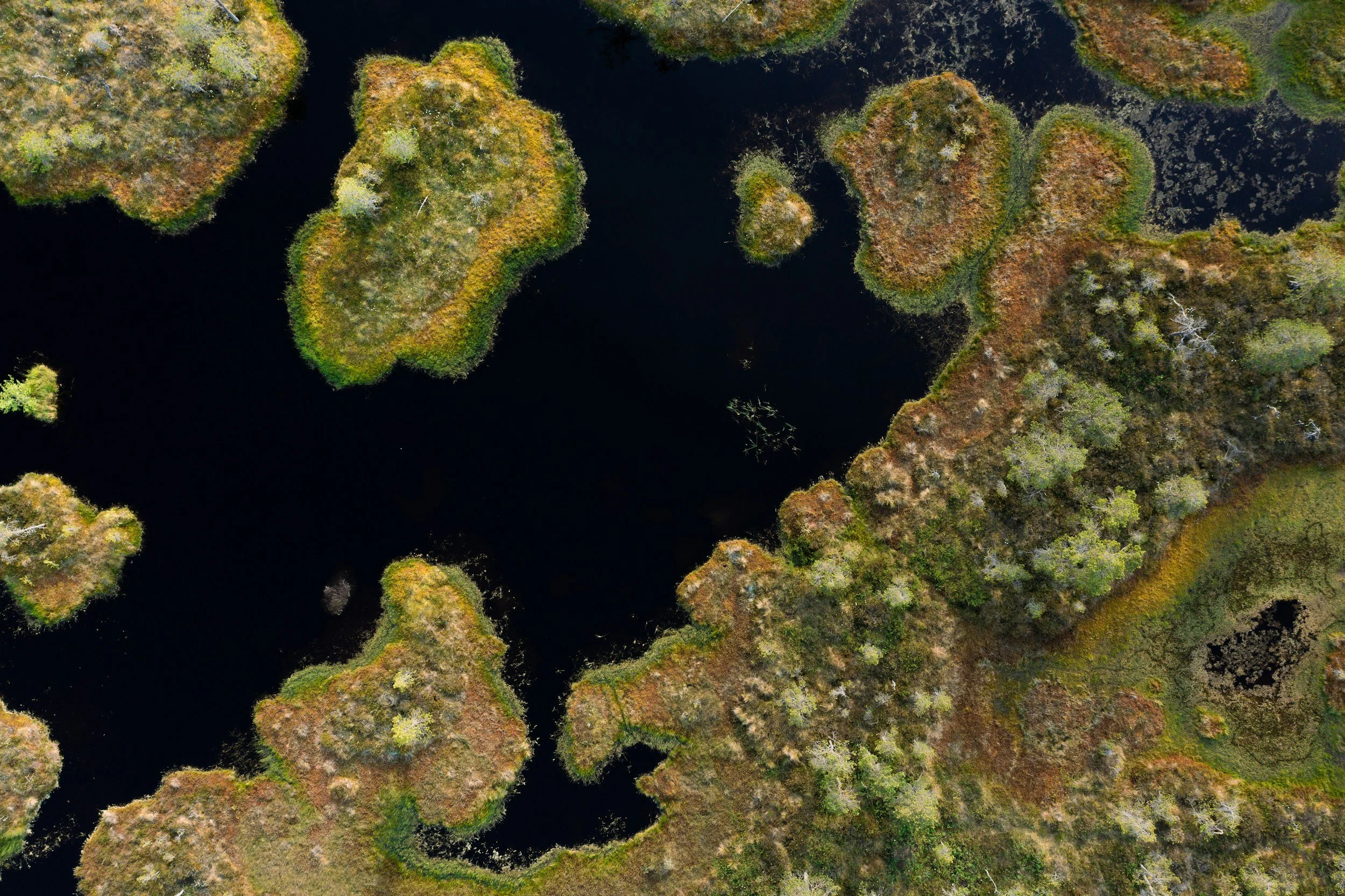
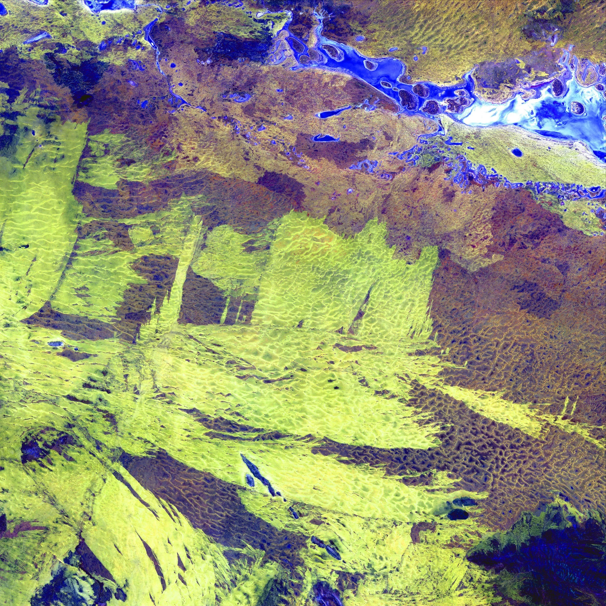
Advanced remote sensing for water quality analysis, algal bloom detection, watershed characterization, and groundwater monitoring using multispectral and hyperspectral imaging technology.
-
Custom GIS application development, spatial database design, satellite image processing, and cartographic production meeting federal mapping standards.
-
We provide consulting services to build and scale your geospatial projects and programs.
Schedule a complimentary consultation
Schedule your consultation with our experienced team. Our team is dedicated to offering expertise and precision in addressing your specific geospatial and remote sensing needs.

About our company
BlueWater Geospatial was founded to deliver advanced remote sensing capabilities to water resources programs through veteran leadership. Our mission is to provide critical geospatial intelligence that protects water infrastructure, ensures environmental compliance, and supports mission-critical operations.
Contact Us
Interested in working together? Fill out some info and we will be in touch shortly. We can’t wait to hear from you!