Our Services
BlueWater Geospatial delivers mission-critical data and analysis for federal, state, and local water resources programs. Our integrated approach combines satellite remote sensing and advanced GIS analysis to provide comprehensive geospatial intelligence.
Water Resources Monitoring
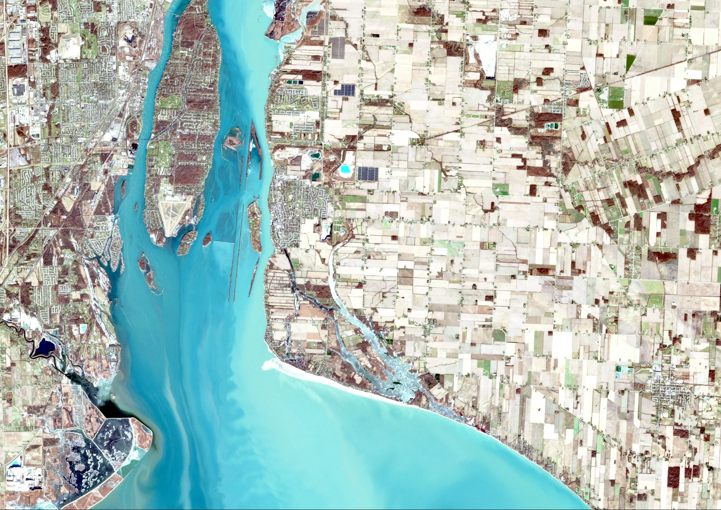
Advanced remote sensing for water quality analysis, algal bloom detection, watershed characterization, and groundwater monitoring using multispectral and hyperspectral imaging technology.
Geospatial Analysis
Custom GIS application development, spatial database design, satellite image processing, and cartographic production meeting federal mapping standards.

Program Management and Consulting
We provide consulting services to build and scale your geospatial projects and programs.
Contact us
Interested in working together? Fill out some info and we will be in touch shortly. We can’t wait to hear from you!